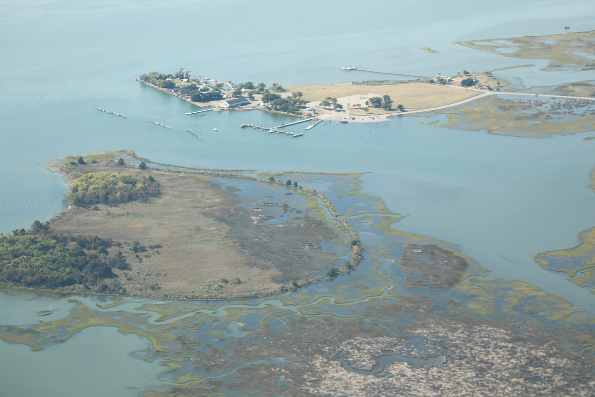
Front Cove in Poquoson as high tide approaches on Sept. 30, 2026, as seen during an aerial survey with Southwings. (Photo by Katherine Hafner)
The king tide is approaching. Scientists are preparing to 'catch' it.
Katherine Hafner
Climate and Environment Reporter
Ahead of the 10th annual "Catch the King" event, an aerial survey over Hampton Roads offered a striking bird's-eye view of high tide flooding across the region's coastlines.
Next weekend, volunteers will use a mobile app to map the perimeters of floodwaters during the highest predicted tides of the year.
The crowdsourced GPS data helps researchers at William & Mary’s Virginia Institute of Marine Science refine their computer models.
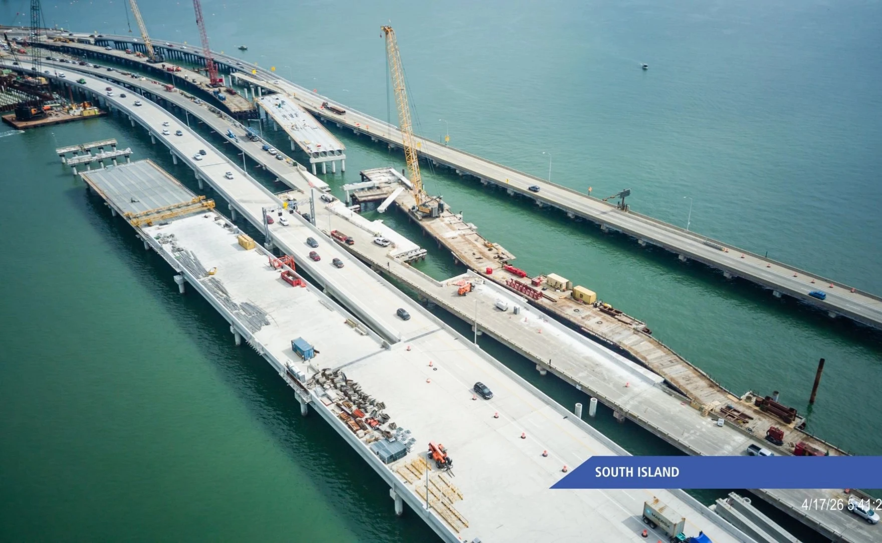
A progress image of the Hampton Roads Bridge Tunnel Expansion from April 2026. (Photo via the Virginia Department of Transportation)
VDOT set to close HRBT in one direction, then the other, for several weekends in October
Kelly Kenoyer
Morning Edition Host
The Hampton Roads Bridge-Tunnel is scheduled for full, single-direction closures across several weekends in October to complete repaving work.
The first westbound closure runs from 9 p.m. tonight to 5 a.m. Monday, with a backup westbound closure window set for Oct. 9 to 12 if additional work is needed.
Eastbound lanes will follow the same weekend schedule from Oct. 16 to 19, with a potential contingency closure from Oct. 30 to Nov. 2.
Thank you for being a part of the WHRO journalism community! If you benefited from this email, forward it to a friend. Was this newsletter forwarded to you? Sign up here to be one of the first people get the most important local news every weekday.
Copyright 2026 WHRO Public Media | 5200 Hampton Boulevard, Norfolk VA 23508 | 757.889.9312 | news@whro.org | Who funds us?
You received this email because you signed up for the WHRO News newsletter from WHRO Public Media. | WHRO Public Media